Chalki is one of the islands of the south-eastern Aegean, belonging to the Dodecanese island complex, with a population of 478 inhabitants. It is located 5 miles west of Cape Armenistis on Rhodes, south-east of Tilos, in the north-eastern part of the Karpathian Sea. The island covers an area of 28 square kilometres and has a coastline extending for 34 kilometres. There are two prevailing theories regarding the origin of the island’s name: it is thought to derive either from the copper mines and processing workshops that existed on the island in antiquity, or from the Phoenician word karki or kalchi, meaning “purple dye”, referring to the shellfish that were once abundant along the island’s shores and traded by the Phoenicians. The latter theory is considered the more likely. Chalki has been proclaimed “The Island of Peace and Friendship of the Youth of the World”, a designation that has attracted a large number of young visitors from across the globe. In recent years, however, the number of elderly visitors has increased.
Geographical Features
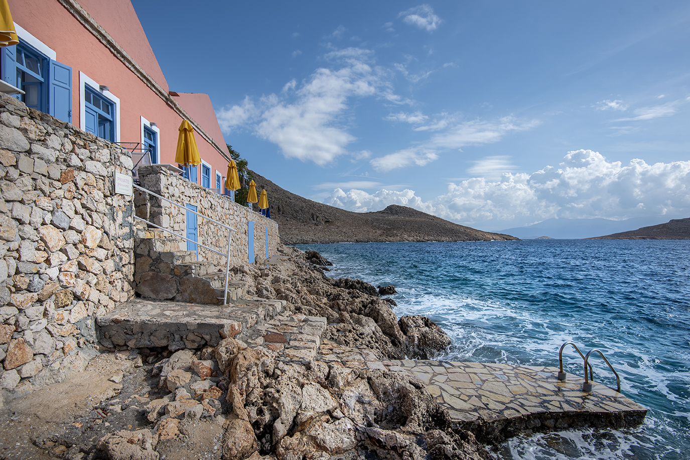
Overall, Chalki is characterised by semi-mountainous and barren terrain. The highest peaks are Merovigli (593 m) in the north-eastern part of the island and Profitis Ilias (578 m) in the central area. The coastline is predominantly steep and rocky, with small beaches of sand and pebbles mainly found in the northern and southern parts of the island. The surrounding seawaters are among the clearest one can encounter.
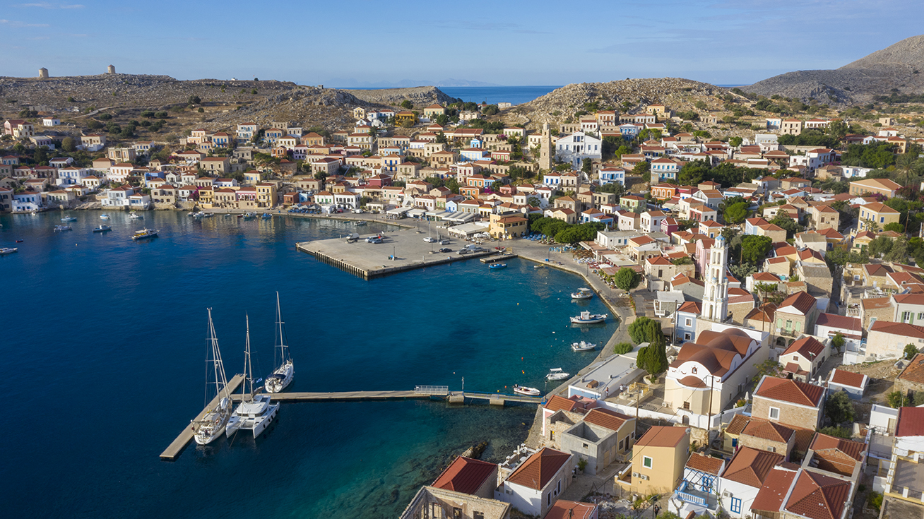
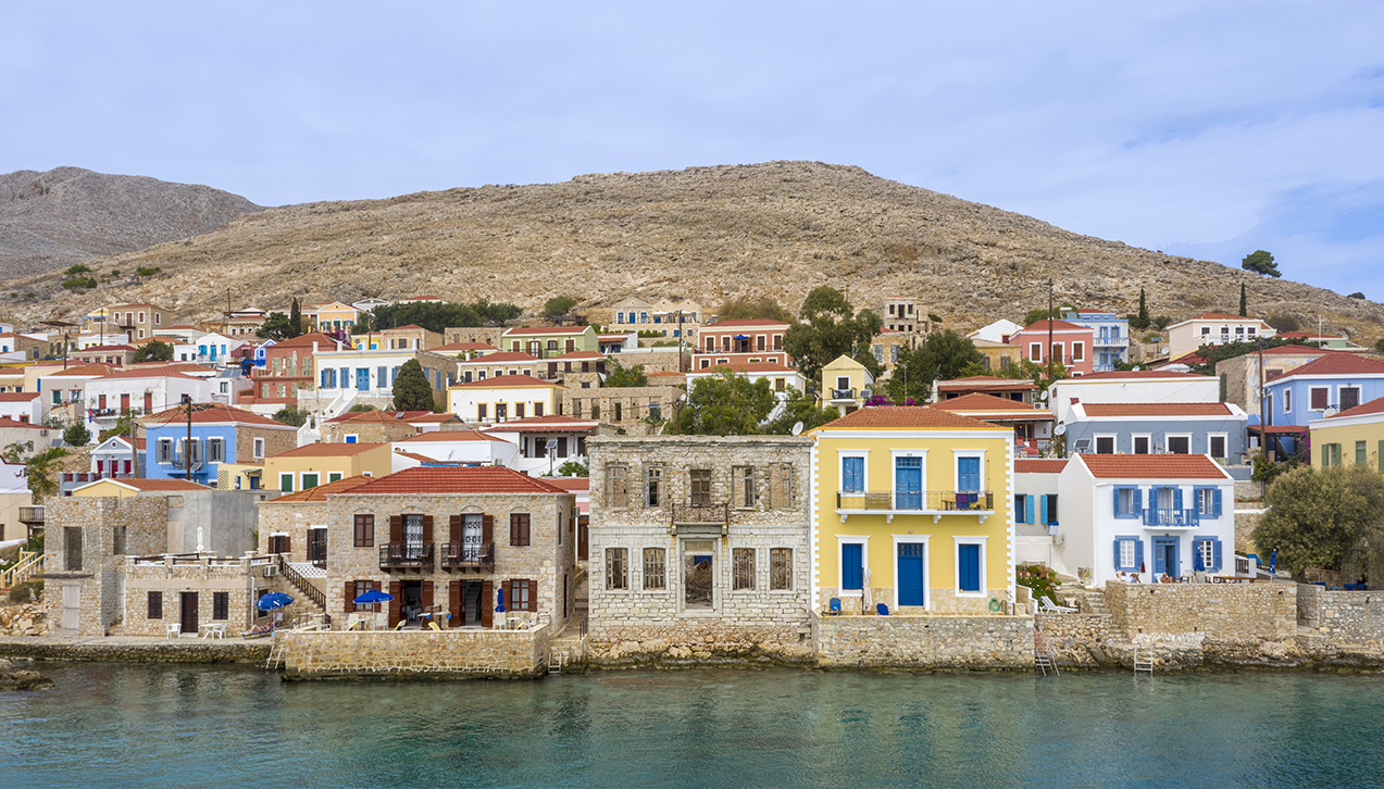
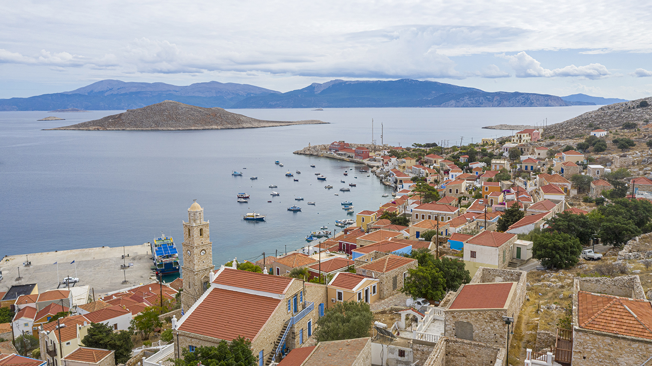
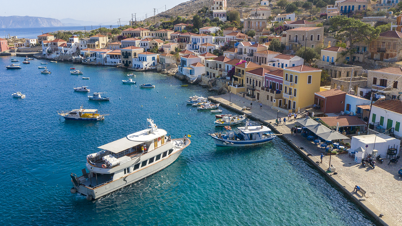
At the south-eastern end of the island lies Cape Krevati, to the north of which stretches the bay of Emporio (Himborio), at the innermost point of which is located the settlement of Chalki, also known as Emporio or Nimborio. The village is particularly picturesque, featuring neoclassical residences that reflect the prosperity of bygone eras. The north-eastern tip of the island ends at Cape Limanari, while the north-western end forms a small peninsula terminating at Cape Kefalos.
Although Chalki is generally mountainous in appearance, the mountain ranges are interrupted by small or larger plains, such as the valleys of Zies, Pondamos, Lentaki and Kissos. In antiquity, these valleys supported abundant cereal production, favoured by the fertile soil and the island’s temperate southern climate. According to the book Chalki of the Dodecanese by Konstantinos Iliadis, the fertility of Chalki’s land was praised by ancient authors, including Theophrastus in his work Enquiry into Plants.
It should be noted that between Chalki and Rhodes there are numerous small islands, islets and reefs that require particular caution. The largest of these is Alimia.
With the implementation of the country’s new administrative division (the “Kallikratis” Programme) in 2011, no change occurred in the administrative status of the Municipality of Chalki, in accordance with Article 1, paragraph 2.10.C.
Based on the above, the Municipality of Chalki comprises the island of Chalki and the islets of Agios Theodoros, Nisaki, Alimia, Kato Prasoua, Kolofonas, Krevati, Maelonisi, Makri, Nipouri, Pano Prasoua, Strogyli, Sfira, Tragousa, Tsouka and Nisos Plateia.
Protected Area
The island of Chalki, together with the islets of Kolofonas, Pano Prasouda, Tragousa, Strogyli, Agios Theodoros, Maelonisi, Alimia, Krevatia, Nisaki and Makri, as well as their coastal zones, covering a total area of 353.2 square kilometres, constitute protected habitats under the Natura 2000 network (code GR4210026). The area is of particular importance for seabird breeding. Protected bird species include Eleonora’s falcons, Aegean gulls, moustached warblers and others.